Research & Spatial Analytics
Leveraging spatial data and analytics to inform environmental policies and strategies — at the resolution the decision actually requires.
Environmental questions are geographic questions. Where the wetland is, what drains through it, which parcels it serves and what changes when land cover changes are all spatial problems before they are economic ones.
Green Analytics combines environmental management expertise with geospatial modelling to drive better land management practice. We fuse multiple data sources into a single defensible hierarchy, and we program the models rather than running them by hand — which is what makes the work repeatable across hundreds of communities.
Capabilities
What this includes
Spatial analytics
We use spatial data and analytics to inform environmental policies and strategies, from single-parcel assessments to national coverage.
Geospatial modelling
Land cover delineation, hydrological connectivity, service area modelling and change detection built for environmental management questions.
Data hierarchy and quality control
A fusion of multiple layers from multiple sources, with an explicit precedence rule set that enforces high quality data and documents every substitution.
Programmed models and automation
We program models and natural asset inventories so that the same method can be applied consistently and re-run as new data lands.
Remote sensing and LiDAR
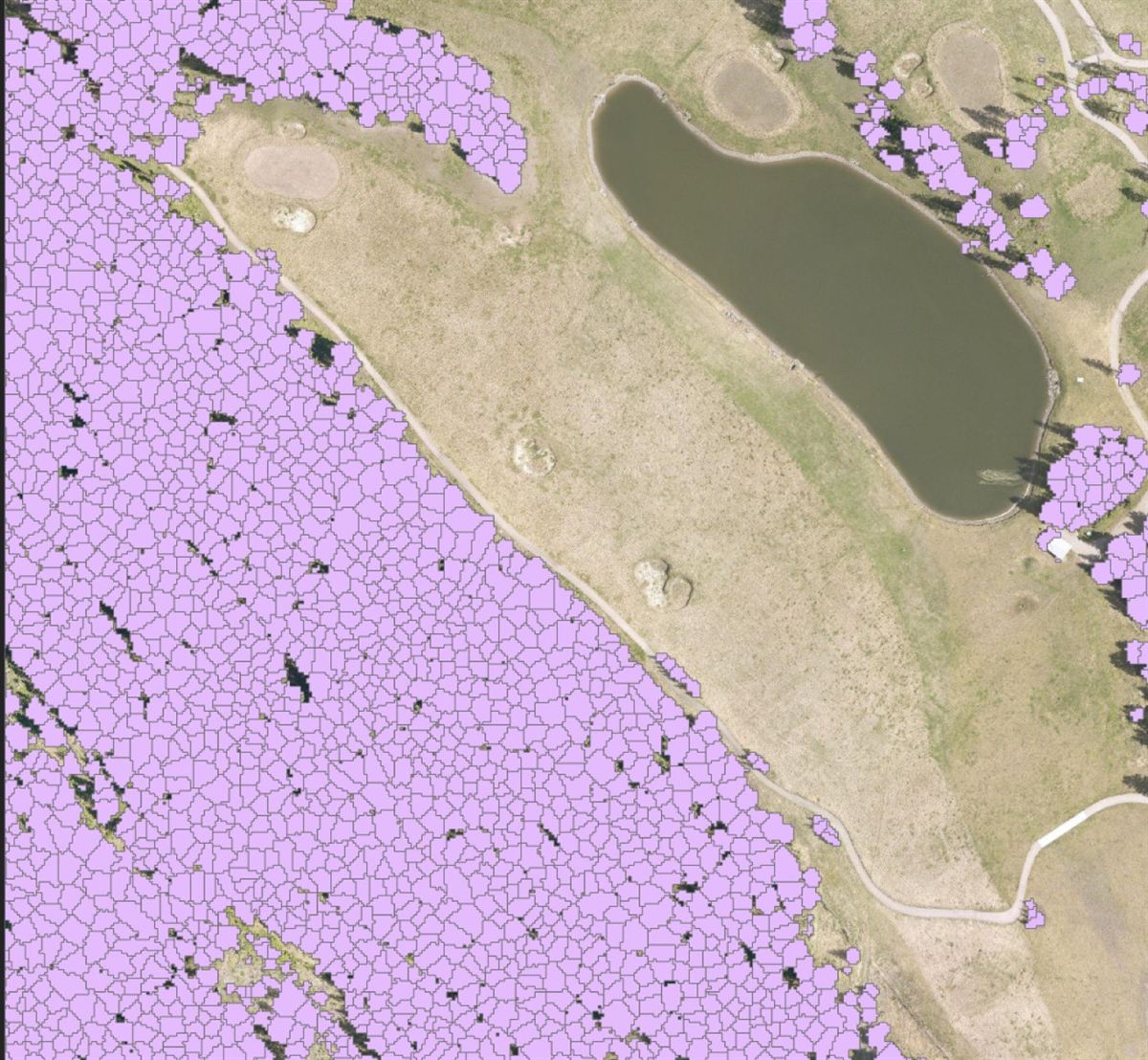
High-resolution LiDAR processing to measure individual trees, canopy cover and forest delineation — data municipalities and industry can plan against.
Objective social science research
Survey research, statistical analysis and literature synthesis on par with modern scientific and academic standards.

Kevin Horrocks
Technology & Spatial Analysis Lead
Kevin is a geospatial analyst and web development lead for municipal, provincial and federal government clients. His work for Green Analytics focuses on natural assets, biological economic value and socio-economic assessment.
Deliverables
What you receive
- Custom geospatial models and reproducible analysis pipelines
- Natural asset delineation and land cover classification
- LiDAR-derived canopy, stem and forest structure metrics
- Statistical analysis, econometrics and survey research
- Web maps and interactive data visualisation
- Documented methodology suitable for peer and regulatory review
“The Green Analytics team is a pleasure to work with, innovative and highly professional. They curated the expertise needed to work with our available data, within our budget, and to achieve all outcomes of our project. Their services have built a better understanding of the value of ecosystem services provided by natural assets in Calgary.”
Related work
Research & Spatial Analytics in practice

City of Calgary
Inventory, assessment and valuation of the natural assets within Calgary's boundary, with custom visualisation of the city's geography.

Natural Assets Initiative
More than 50 projects delivered with NAI for communities across Canada — inventories, condition assessments, valuation and dashboards.

Common Ground Alliance
An interactive dashboard allowing users to explore extensive data related to linear disturbances across North America.
Let’s talk about your natural assets
A natural asset management plan will help ensure your natural assets continue to deliver the services your community depends on. Green Analytics can help.